Pennine Way for Beginners: How to Plan Your First Three-Day Section
The Pennine Way runs 268 miles from Edale in Derbyshire to Kirk Yetholm in the Scottish Borders. Almost nobody starts by thinking about the whole thing. They think about the first three days: the Dark Peak, the peat, the weather coming in sideways off Kinder, and whether their boots will survive it. That is the right way round. The southern section is the toughest introduction the route offers — and the best place to find out whether long-distance walking is something you actually enjoy.
Why start here rather than further north
Two reasons. First, the transport. Edale has a railway station on the Hope Valley line, and both Marsden and Hebden Bridge sit on lines back towards Manchester and Leeds. You can walk three days and be home the same evening without a single lift or taxi. Second, the southern section teaches you everything the rest of the route will ask of you, in miniature: bog, navigation in poor visibility, rough ground underfoot, and long days where the pub is still five miles away. If you can handle Edale to Hebden Bridge, the Cheviots will not frighten you.
A three-day plan that works
These are the classic stages, and they are roughly the distances most guidebooks quote. Route variations and any detour to accommodation will add a mile or two, so treat the numbers as a guide rather than a promise.
Day 1: Edale to Crowden — around 16 miles
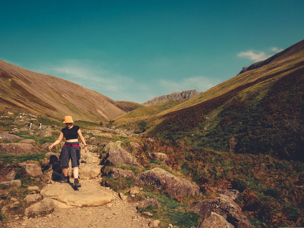
The hardest day, and you get it out of the way first. From Edale village the path runs through Barber Booth and Upper Booth, then up Jacob's Ladder onto the Kinder plateau. You cross the top past Kinder Downfall, drop to Mill Hill, cross the Snake Pass and climb again onto Bleaklow, passing the Wain Stones before descending to Torside and Crowden. The bulk of the climbing is in the first half and the ground is slow — peat, gritstone edges, and a lot of attention needed on where your feet land. Start early. Nine hours is not an unreasonable estimate for a first attempt.
Day 2: Crowden to Standedge — around 15 miles
A gentler profile but still peaty. The path follows the reservoirs, climbs past Laddow Rocks, and crosses Black Hill, where the paving slabs are a mercy. Then it is White Moss, Wessenden Head and the Wessenden reservoirs, before the final pull to the A62 at Standedge. Fewer big climbs than day one, more time on flat, wet, featureless ground where navigation matters.
Day 3: Standedge to Hebden Bridge — around 14 miles
The reward. White Hill, Blackstone Edge, the crossing of the A58, then the long, lovely run over to Stoodley Pike and the descent into Hebden Bridge. This is the day that convinces most people to keep going.
If three days is your limit and you would rather finish somewhere with an easy train, drop off the moor at the A62 on day two and walk into Marsden instead. It shortens the trip and puts you at a station on the Huddersfield line.
Getting to the start and home from the end
- Edale — trains from Manchester Piccadilly and Sheffield. The station is a few minutes from the village centre.
- Crowden — no station and no reliable bus. The nearest towns are Glossop and Hadfield, a few miles away, so book a taxi in advance or arrange a lift.
- Standedge and Marsden — leave the route at the A62 and it is a couple of miles down into Marsden, which has a station.
- Hebden Bridge — a station on the Calder Valley line with services to Manchester and Leeds.
Baggage transfer companies do operate along the Pennine Way, which can turn three hard days into three enjoyable ones. If you would rather carry everything, that is fine too — just pack lighter than you think you need to.
Kit that earns its place
The southern Pennine Way is wet. Not raining-wet, necessarily, but standing-water-wet, peat-wet, socks-soaked-by-lunchtime wet. Whatever you take, take it in dry bags.
- Boots or shoes you have already walked at least a couple of long days in. The moor is no place to break in footwear.
- Waterproof jacket and trousers, plus a spare warm layer kept dry.
- Gaiters. You will look unfashionable for ten minutes and grateful for eight hours.
- Paper map and compass. OS Explorer OL1 covers the Dark Peak; OL21 takes you to Hebden Bridge. A charged phone with offline maps is a backup, not the plan.
- Spare socks, blister plasters, and a headtorch in case the day runs long.
- At least two litres of water, and food you will actually eat when tired.
- A basic first aid kit, a whistle and an emergency shelter.
Water, food and the peat factor
There are no taps on the tops. Streams are plentiful but peat-stained, and how you treat that water is your call — filter, tablets, or carry more than you think you need. Fill up at campsites, pubs and villages before you climb.
Eat little and often rather than stopping for one big lunch. On the Bleaklow and Black Hill sections the ground is slower than it looks, so plan your day by time on your feet rather than miles on the map.
If you have a heart condition, joint problems or you are returning to walking after a long break, have a word with your GP before committing to three consecutive long days. It is a sensible conversation, not a dramatic one.
Weather, navigation and knowing when to stop
Kinder Scout and Bleaklow are disorienting in cloud. The path is well worn, but the peat groughs swallow walkers every year who trust a faint trod over a compass bearing. Practise taking a bearing before you go, and know your escape points: the Snake Pass on day one, Wessenden Head on day two, the A58 and the A62 on day three.
Check the Met Office upland forecast and the Mountain Weather Information Service before each day. Both are far more useful than a phone weather app. Leave your route and expected finish times with someone at home, and save a couple of local taxi numbers offline in case the weather wins.
Camping is only straightforward on official sites — Edale, Crowden and around Marsden and Hebden Bridge all have options — and wild camping in England generally needs the landowner's permission. Bank holidays fill up fast, so book beds and pitches well ahead.
Your checklist before you go
- Book accommodation for two nights, plus a plan for the third.
- Check train times for Edale and your finish point, and buy tickets in advance if it helps.
- Arrange transport for Crowden — taxi, lift, or baggage transfer.
- Walk two long days in your chosen footwear beforehand.
- Print or download the maps, and write the escape points on the back.
- Tell someone your itinerary and check-in times.
- Pack light, pack dry, and start early.
The first three days will not be the easiest walking of your life. They may well be the most memorable. Get the planning right, and the Pennine Way stops being an intimidating 268-mile idea and becomes what it actually is: a series of very good days out, one after another.
Photo: Vintage Laka / Pexels
You Might Also Like
From Edale's Pennine Way start to Bakewell's gentle dales, here is how to choose a Peak District base that puts the walks you want on your doorstep.
Camping, hostels and B&Bs each ask something different of your budget, your legs and your planning. A practical comparison for Pennine Way walkers choosing where to sleep.