10 Common Mistakes on the Pennine Way (and How to Avoid Them)
The Pennine Way rarely defeats people through fitness. It defeats them through assumptions. Someone trains hard, walks twenty miles at home on gentle ground, then meets a wet afternoon on Bleaklow with an overloaded pack and a phone at 8% battery, and the trip quietly ends at the next road.
Running roughly 268 miles from Edale in Derbyshire to Kirk Yetholm in the Scottish Borders, the route is less a wilderness expedition than a long chain of decisions. Get most of them roughly right and the walking looks after itself. These are the mistakes that come up again and again.
1. Packing for a trip you are not taking
The classic error is carrying kit built for a self-supported expedition on a route that passes through villages every day or two. The Pennine Way is served by pubs, cafés, campsites, bunkhouses and B&Bs for almost its whole length. You seldom need more than two days of food, and you almost never need a full cooking setup, a spare stove, three spare layers and a tent that duplicates the shelter you have already booked.
Two habits help. First, lay everything out, then take the "just in case" pile and halve it. Second, use a smaller pack — a big one fills itself. A summer load close to 10 kg including food and water is very achievable with three-season kit, and plenty of walkers go lighter. If you are wedded to luxuries, post a box of extras to an accommodation stop a week ahead rather than carrying them over Cross Fell.
2. Treating navigation as a phone problem
A GPX track on a phone is a useful backup. It is a poor primary tool. Cold drains batteries, rain defeats touchscreens, and large stretches of the route — the Kinder edge, Bleaklow, the Cross Fell plateau, the Cheviot ridges — have no useful signal.
Carry a paper map of the whole route and a compass, and know how to use both. The waymarking is good in places and vague in others, so treat the acorn symbols as confirmation rather than instruction. A five-minute habit before setting off each morning saves a lot of grief: note the next two or three features on the map — a wall corner, a stream junction, a col — and tick them off as you pass. When something does not match, stop and check rather than pressing on hopefully.
Keep the phone working
- Charge it fully every night and carry a power bank sized for three or four days.
- Keep it in a dry bag inside a jacket pocket, not a pack lid.
- Use airplane mode on the moor; it roughly doubles battery life.
- Photograph the day's map section in the morning as a fallback.
3. Leaving gaps — or leaving no flexibility — in your accommodation
Two opposite mistakes cause most accommodation misery. The first is booking late. Villages such as Malham, Hawes, Keld, Alston and Bellingham have a limited number of beds, and summer weekends fill months ahead. If you plan to walk between June and August, book early or accept that some nights may be a campsite, a bunkhouse or a longer detour.
The second mistake is booking every night so rigidly that one bad day wrecks the schedule. Wet weather, a twisted ankle or a slower-than-expected moor crossing turns a fixed itinerary into pressure. Where you can, leave a day of slack and know which booking you would sacrifice.
Then there are the genuine gaps. The crossing from Dufton to Alston over Cross Fell is a long, exposed day with no beds; the shelter at Greg's Hut is for emergencies, not for a comfortable night. The final push from Byrness to Kirk Yetholm is often quoted at around 27 miles, with the refuge hut at Yearning Saddle the only real shelter. Plan those legs knowing you may have to carry what you need, and start early rather than late.
Ask about drying rooms and packed lunches when you book. In England, wild camping is not generally a right — ask landowners or use campsites; in Scotland it is legal on most unenclosed land. Check local guidance before you rely on it.
4. Underestimating the bogs
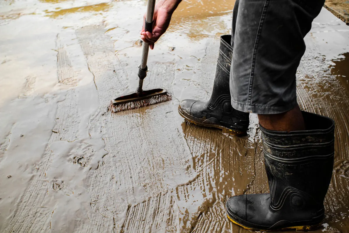
Flagstone paving has transformed sections of Kinder and Bleaklow, but it has not removed peat. The wet ground is slow, tiring and occasionally deep enough to swallow a leg to the thigh. The mistake is trying to stay dry by hopping between tussocks; that is how ankles get turned and knees get twisted.
Walk through the wet at a steady rhythm. Use poles to test the ground ahead, step onto vegetation clumps rather than bare peat, and follow the flagstones or waymarks even when they seem to zigzag. Gaiters help, and so does accepting that your feet will be wet by mid-morning. Carry one spare pair of socks for the end of the day, and deal with hot spots on your feet the moment they appear — a blister ignored at lunchtime becomes a trip-ending problem by evening.
5. Planning days by map distance rather than by terrain
Fifteen miles along a canal towpath and fifteen miles across the Cheviots with 900 m of ascent and a mile of bog are completely different days. Use a rough rule of thumb: an hour for every 5 km, plus an hour for every 300 m of climbing, then add time for gates, stiles, photos, food and the moor that turns out to be slower than it looked.
Start more gently than feels natural. Feet, shins and tendons adapt over the first week, so keep the opening days shorter and save the big ones for later. Plan to arrive in daylight; the last hour of a long day is when people take wrong turns and fall.
6. Skipping the unglamorous logistics
Resupply. Edale, Hebden Bridge, Gargrave, Hawes, Alston and Bellingham are the main places to restock. Between them you may find only a pub or a tiny shop, so do not assume you can buy dinner and breakfast wherever you sleep.
Water. Taps in villages, pubs, cafés and churchyards are the reliable option. Streams running through grazing land are not a safe default; if you must use them, treat the water properly.
Signal. Calls and bookings are best made from villages. Do not count on finding a room from a hillside at six in the evening.
Getting home. Kirk Yetholm has limited public transport. A pre-booked taxi to Kelso or Jedburgh is often the simplest finish, and worth arranging before the last day rather than after it.
Escape routes. Know where you can leave the route if you need to, and leave a copy of your itinerary with someone at home. Text an update when you have signal.
A short pre-walk checklist
- Pack weighed, and everything in it used at least once in training.
- Paper map and compass packed, plus a charged power bank.
- Every night's bed booked, with one flexible day if possible.
- Two days of food and a way to carry water.
- Gaiters, poles, spare socks, blister kit.
- Waterproofs that have actually been worn in rain.
- Itinerary shared with someone at home.
- Transport home from Kirk Yetholm sorted.
None of this is dramatic. It is the difference between a walk where the weather sets the challenge and one where your own planning does. If you have an existing medical condition, or you are planning a long-distance walk for the first time, it is worth talking to a qualified professional about what your body can reasonably handle before you commit.
Photo: Nothing Ahead / Pexels

You Might Also Like
From Edale's Pennine Way start to Bakewell's gentle dales, here is how to choose a Peak District base that puts the walks you want on your doorstep.
Camping, hostels and B&Bs each ask something different of your budget, your legs and your planning. A practical comparison for Pennine Way walkers choosing where to sleep.